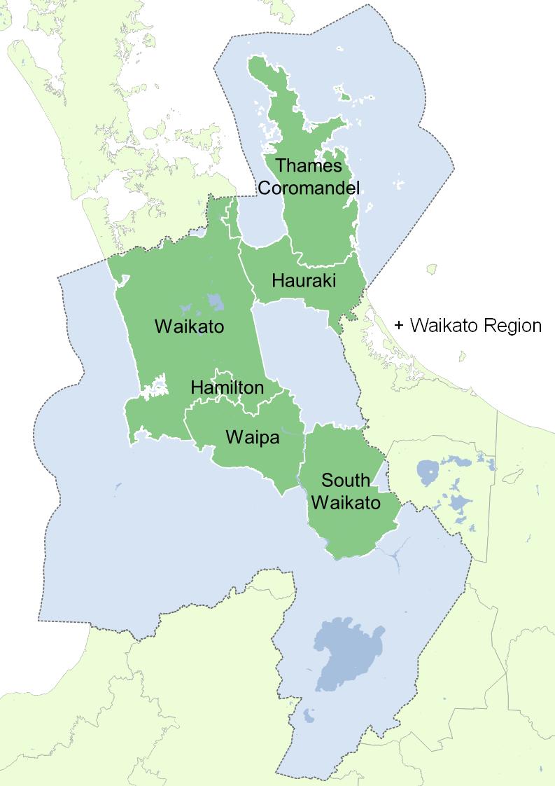
Waikato OneView is a Waikato Local Authority Shared Services (WLASS) initiative driven by WLASS in collaboration with the participating Waikato Councils.
What is OneView?
Essentially OneView has 2 parts to the overall project and deliverables: 1) Merged spatial map data from the participating councils; 2) A single Web Map Viewer that shows the merged spatial map data.
Key Principles
To merge spatial & non-spatial data across the Waikato region e.g. one Storm Water Pipe layer, not twelve.
A single Web Map Viewer: “One Stop Shop”.
Alignment of WRC data with TLA data.
Invoke council Collaboration as the next phase of the Waikato Regional Geospatial Road Map.
Provide a regional channel for communication with customers.